ZCZC MIATWOAT ALL
TTAA00 KNHC DDHHMM
Tropical Weather Outlook
NWS National Hurricane Center Miami FL
800 AM EDT Sun Aug 3 2025
For the North Atlantic...Caribbean Sea and the Gulf of America:
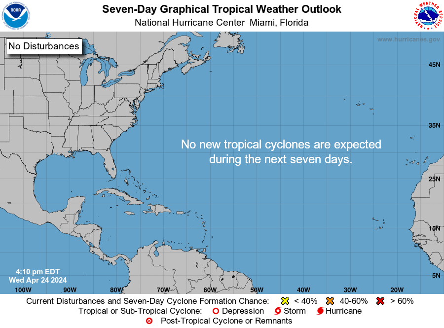
1. Western Atlantic (AL95):
A non-tropical area of low pressure located along a frontal boundary
about 180 miles off the coast of North Carolina is producing
disorganized showers and thunderstorms. Environmental conditions are
marginally conducive for this system to become a tropical or
subtropical depression or storm today or on Monday while it moves
east-northeastward at about 10 mph, away from the coast of North
Carolina. After Monday, environmental conditions become less
conducive for development. For additional information, including
gale warnings, please see High Seas Forecasts issued by the National
Weather Service.
* Formation chance through 48 hours...medium...50 percent.
* Formation chance through 7 days...medium...50 percent.
2. Central Tropical Atlantic:
A tropical wave is forecast to move off the west coast of Africa in
the next day or two. Thereafter, some gradual development of the
wave is possible during the middle to latter part of next week while
it moves generally west-northwestward across the central tropical
Atlantic.
* Formation chance through 48 hours...low...near 0 percent.
* Formation chance through 7 days...low...30 percent.
High Seas Forecasts issued by the National Weather Service
can be found under AWIPS header NFDHSFAT1, WMO header FZNT01
KWBC, and online at ocean.weather.gov/shtml/NFDHSFAT1.php
Forecaster Bucci