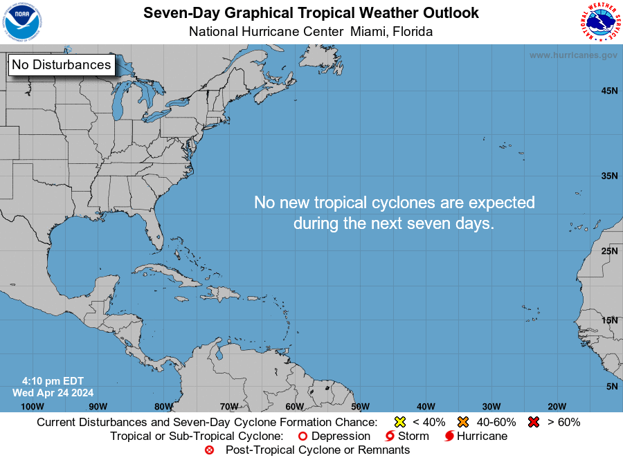
ZCZC MIATWOAT ALL
TTAA00 KNHC DDHHMM

Tropical Weather Outlook
NWS National Hurricane Center Miami FL
200 PM EDT Fri Jun 27 2025

For the North Atlantic...Caribbean Sea and the Gulf of America:

1. Yucatan Peninsula and Bay of Campeche:
A broad area of low pressure has formed over the Yucatan Peninsula
in association with a large area of disorganized showers and
thunderstorms over the northwestern Caribbean Sea and the Yucatan
Peninsula. Some additional development is possible over the next few
days when the system moves into the Bay of Campeche this weekend. By
early next week this system should move inland over Mexico, ending
its chances of additional development. Regardless of development,
locally heavy rains are possible over portions of Belize, Guatemala,
and southeastern Mexico during the next few days.
* Formation chance through 48 hours...low...20 percent.
* Formation chance through 7 days...low...30 percent.


Forecaster Papin


