AMZ101-172045-
Synopsis for the SW N Atlantic including the Bahamas
437 AM EDT Fri May 17 2024
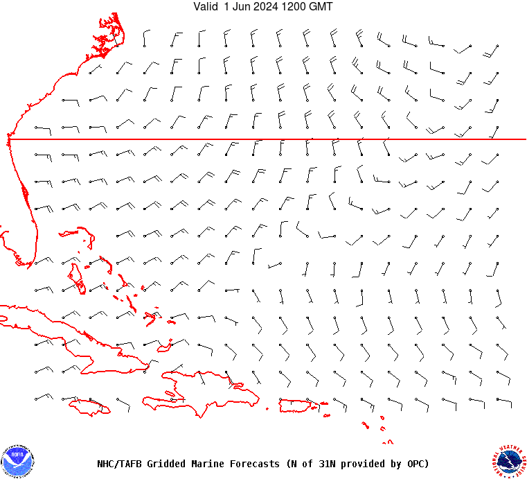
.SYNOPSIS...A cold front extends from 31N67W southwestward to the
NW Bahamas. Scattered showers and isolated thunderstorms are
east of the front to near 62W and north of 27N. The cold front
will move slowly eastward, and shift east of 55W by Mon. Active
weather is expected to continue ahead of the front through Sun.
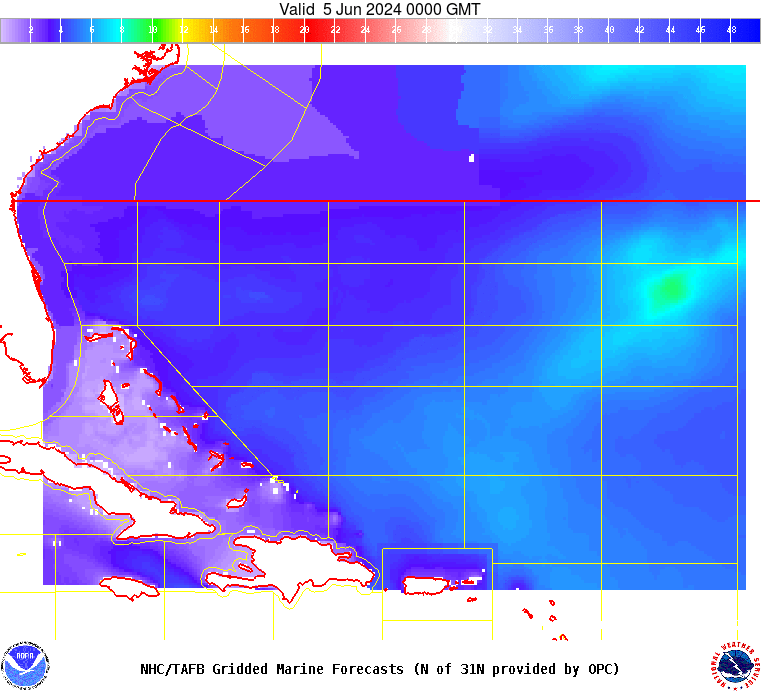
Fresh southerly winds ahead of the front will continue through
Fri afternoon, then become moderate Fri night through Sat
afternoon, then diminish further. Moderate to locally fresh
winds and moderate seas are expected through Sun night as weak
high pressure extends E to W along 24N-25N. A new front will sink
southward into the waters offshore of Georgia and NE Florida
early Mon and move SE and weaken through Tue.