ZCZC HFOTWOCP ALL
TTAA00 PHFO DDHHMM
Tropical Weather Outlook
NWS Central Pacific Hurricane Center Honolulu HI
200 PM HST Sun Jul 21 2024
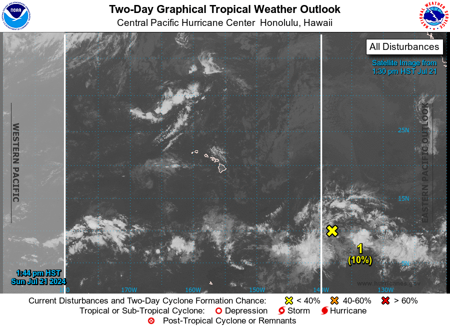
For the central North Pacific...between 140W and 180W:
1. Approximately 1,100 miles east-southeast of Hilo, Hawaii:
A large area of disorganized showers and thunderstorms located
over the far western portion of the eastern Pacific is associated
with a trough of low pressure. Environmental conditions are
forecast to be marginally conducive for some slow development during
the next day or so. The disturbance is forecast to move westward at
10 to 15 mph and into the central Pacific basin tonight. By midweek,
strong upper-level winds are expected to inhibit further
development.
* Formation chance through 48 hours...low...10 percent.
* Formation chance through 7 days...low...10 percent.
Forecaster TS