ZCZC HFOTWOCP ALL
TTAA00 PHFO DDHHMM
Tropical Weather Outlook
NWS Central Pacific Hurricane Center Honolulu HI
800 AM HST Tue Sep 24 2024
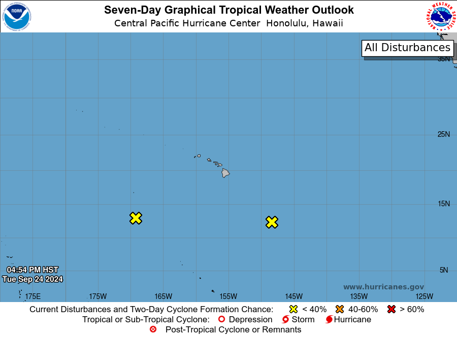
For the central North Pacific...between 140W and 180W:
1. Approximately 700 miles southeast of Hilo, Hawaii:
A trough of low pressure located far southeast of
Hawaii is producing disorganized showers and
thunderstorms. Development of this system is not
expected as it moves westward at 5 to 10 mph.
* Formation chance through 48 hours...low...near 0 percent.
* Formation chance through 7 days...low...near 0 percent.
2. Approximately 950 miles southwest of Honolulu, Hawaii:
A broad area of low pressure located far southwest of the
Hawaiian Islands is producing disorganized showers and
thunderstorms. Upper level winds are not conducive for further
development as this system moves northwestward over the next few
days.
* Formation chance through 48 hours...low...near 0 percent.
* Formation chance through 7 days...low...near 0 percent.
Forecaster Kino