ZCZC HFOTWOCP ALL
TTAA00 PHFO DDHHMM
Tropical Weather Outlook
NWS Central Pacific Hurricane Center Honolulu HI
200 PM HST Fri Oct 25 2024
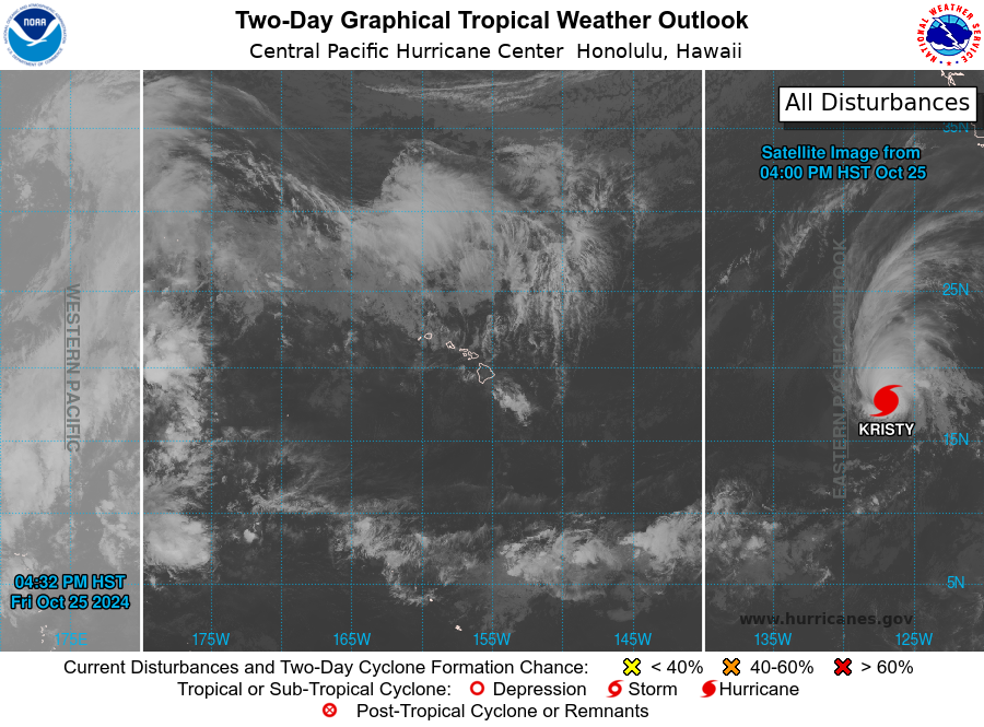
For the central North Pacific...between 140W and 180W:
1. Over 2900 miles east-southeast of Hilo, Hawaii:
A large area of disturbed weather is located well to the
east-southeast of Hawaii. An area of low pressure could form from
this disturbance over the western part of the eastern pacific basin
during the early to middle part of next week, and environmental
conditions appear conducive for subsequent development while the
system moves westward or west-northwestward at about 15 mph. This
system is expected to move into the central Pacific basin on
Wednesday or Thursday.
* Formation chance through 48 hours...low...near 0 percent.
* Formation chance through 7 days...low...30 percent.
Forecaster Kino