ZCZC MIATWOEP ALL
TTAA00 KNHC DDHHMM
Tropical Weather Outlook
NWS National Hurricane Center Miami FL
500 AM PDT Tue Jul 16 2024
For the eastern North Pacific...east of 140 degrees west longitude:
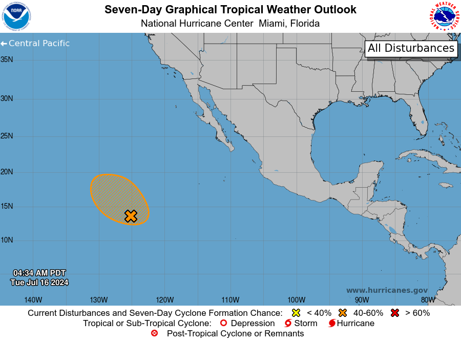
1. Western East Pacific (EP92):
A broad area of low pressure located several hundred miles southwest
of the southern tip of the Baja California peninsula is producing a
large area of disorganized showers and thunderstorms. Environmental
conditions appear generally conducive for some development, and a
tropical depression could form in the next couple of days while the
system moves west-northwestward at 10 to 15 mph across the western
part of the basin.
* Formation chance through 48 hours...medium...40 percent.
* Formation chance through 7 days...medium...40 percent.
Forecaster Kelly