ZCZC MIATWOEP ALL
TTAA00 KNHC DDHHMM
Tropical Weather Outlook
NWS National Hurricane Center Miami FL
1100 PM PDT Tue Sep 24 2024
For the eastern North Pacific...east of 140 degrees west longitude:
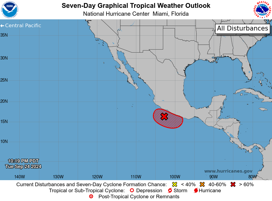
1. Offshore of Southern Mexico (EP95):
An area of low pressure, partially associated with the remnants of
John, is producing a large area of shower and thunderstorm activity
along and offshore of the coast of southern Mexico. This activity is
showing signs of organization, and environmental conditions appear
conducive for additional development. A tropical depression is now
likely to form in the next day or two, as long as the system remains
over water. Interests in southern Mexico should monitor the progress
of this system. Regardless of development, this system is expected
to produce heavy rainfall with the potential for flash flooding and
mudslides over a large portion of southern Mexico this week.
* Formation chance through 48 hours...high...70 percent.
* Formation chance through 7 days...high...70 percent.
Forecaster Papin