ZCZC MIATWOEP ALL
TTAA00 KNHC DDHHMM
Tropical Weather Outlook
NWS National Hurricane Center Miami FL
1000 PM PST Tue Nov 5 2024
For the eastern North Pacific...east of 140 degrees west longitude:
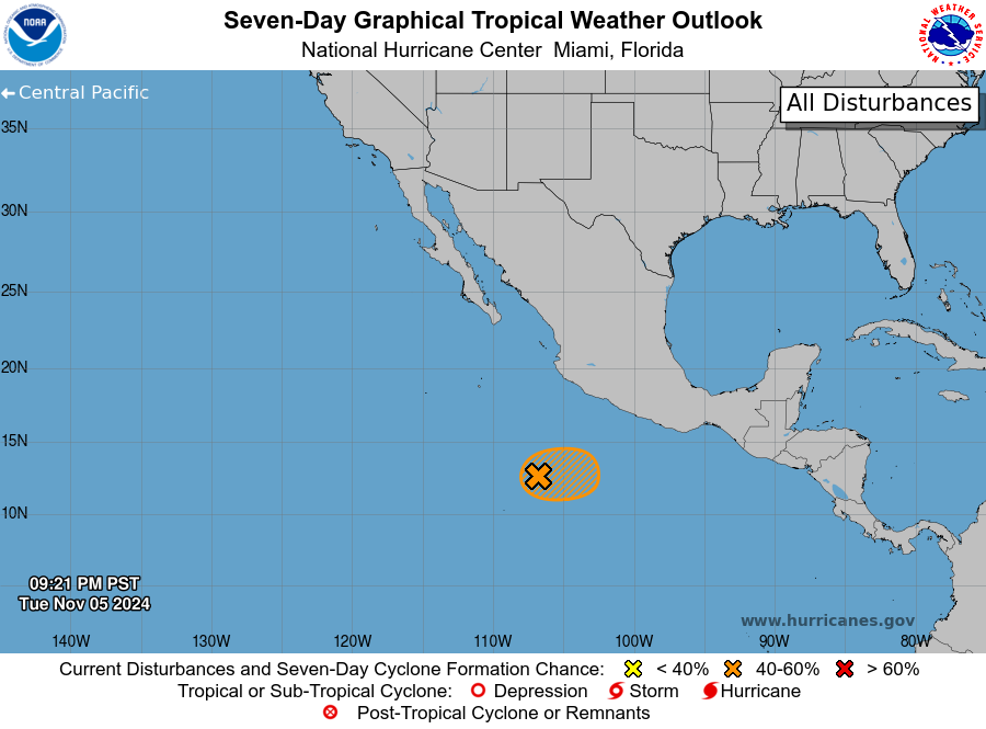
1. Southwest of Southwestern Mexico (EP93):
Showers and thunderstorms continue in association with an area of
low pressure located several hundred miles southwest of the coast of
southwestern Mexico. Environmental conditions appear marginally
conducive for slow development during the next day or so, and a
tropical depression could form while the system moves generally
east-northeastward at 5 to 10 mph. By the latter part of the week,
environmental conditions are forecast to become unfavorable for any
further development.
* Formation chance through 48 hours...medium...50 percent.
* Formation chance through 7 days...medium...50 percent.
Forecaster Roberts