


NHC Graphical Outlook Archive
|
« Earliest Available ‹ Earlier Later › Latest Available » |
GIS Shapefiles |
| Central Pacific | Eastern Pacific | Atlantic |
|
Tropical Weather Outlook Text
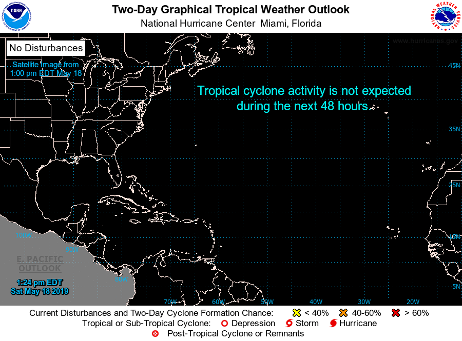
ZCZC MIATWOAT ALL
TTAA00 KNHC DDHHMM

Special Tropical Weather Outlook
NWS National Hurricane Center Miami FL
125 PM EDT Sat May 18 2019

For the North Atlantic...Caribbean Sea and the Gulf of Mexico:

1. A large and elongated area of cloudiness and disorganized
thunderstorms has developed well to the east of the Bahamas.
An area of low pressure is expected to form within this area of
disturbed weather several hundred miles south or southwest of
Bermuda by early next week. Gradual development of this system
into a tropical or subtropical cyclone is possible during the
early and middle part of next week while it moves northward or
northeastward. The next Special Tropical Weather Outlook will be
issued by 2 AM EDT Sunday, or sooner if conditions warrant.
* Formation chance through 48 hours...low...near 0 percent.
* Formation chance through 5 days...medium...40 percent.

Forecaster Stewart
List of Atlantic Outlooks (May 2023 - present)
List of East Pacific Outlooks (May 2023 - present)
List of Central Pacific Outlooks (May 2023 - present)
List of Atlantic Outlooks (July 2014 - April 2023)
List of East Pacific Outlooks (July 2014 - April 2023)
List of Central Pacific Outlooks (June 2019 - April 2023)
List of Atlantic Outlooks (June 2009 - June 2014)
List of East Pacific Outlooks (June 2009 - June 2014)