How to use the cone graphic
About this product:
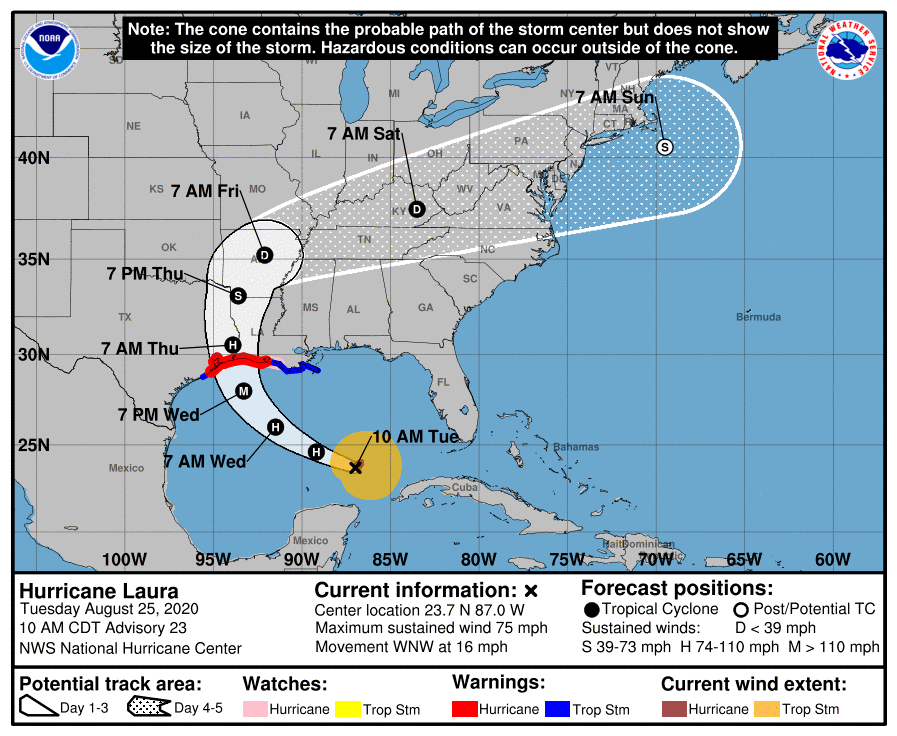
This graphic shows the areas potentially being affected by the sustained winds of tropical storm force (in orange) and hurricane force (in red). The display is based on the wind radii contained in the latest Forecast/Advisory (indicated at the top of the figure). Users are reminded that the Forecast/Advisory wind radii represent the maximum possible extent of a given wind speed within particular quadrants around the tropical cyclone. As a result, not all locations falling within the orange or red shaded areas will be experiencing sustained tropical storm or hurricane force winds, respectively.
In addition to the wind field, this graphic shows an approximate representation of coastal areas under a hurricane warning (red), hurricane watch (pink), tropical storm warning (blue) and tropical storm watch (yellow). The white dot indicates the current position of the center of the tropical cyclone, and the dashed line shows the history of the center of the tropical cyclone.
| Sample cone graphic (not a current forecast): |
 |


