000
AXPZ20 KNHC 150833
TWDEP
Tropical Weather Discussion
NWS National Hurricane Center Miami FL
1005 UTC Wed May 15 2024
Tropical Weather Discussion for the eastern Pacific Ocean from
03.4S to 30N, east of 120W including the Gulf of California, and
from the Equator to 30N, between 120W and 140W. The following
information is based on satellite imagery, weather observations,
radar, and meteorological analysis.
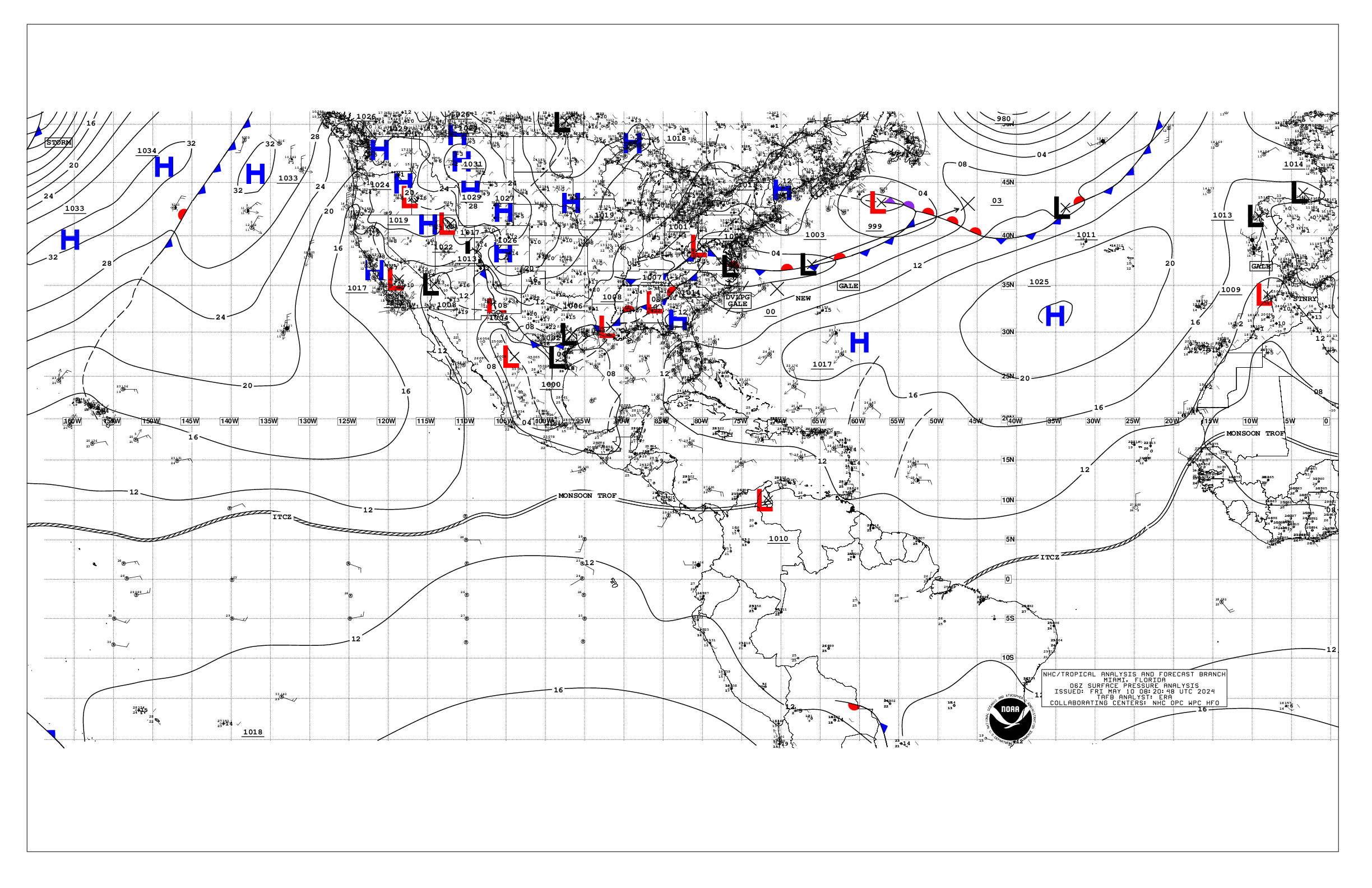
Based on 0600 UTC surface analysis and satellite imagery through
0830 UTC.
...INTERTROPICAL CONVERGENCE ZONE/MONSOON TROUGH...
The monsoon trough extends from 10N86W to 11N100W to 06N122W.
The ITCZ continues from 06N122W to 08N140W. Scattered moderate
and isolated strong convection is noted E of 82W, and from 04N
to 12N between 82W and 104W.
...OFFSHORE WATERS WITHIN 250 NM OF MEXICO...
Moderate to fresh winds prevail across the waters off the Baja
California peninsula southward to near the Revillagigedo Islands,
reaching locally strong speeds off the coast of Cabo San Lucas.
Moderate to fresh gap winds are funneling through the mountain
ranges of the Baja California peninsula into the Gulf of
California. Light to gentle winds are elsewhere over the open
waters off Mexico. Seas are in the 4-5 ft range over the open
waters off Mexico, and 3 ft or less in the Gulf of California.
For the forecast, moderate to fresh NW winds, and moderate seas
or less, will persist off the Baja California waters through this
week and into the upcoming weekend, pulsing to locally strong
near Cabo San Lucas at night through Thu night. Pulsing moderate
to locally fresh gap winds will push through the mountain
passages of Baja California into the Gulf of California at night
through much of the week. Gentle to locally moderate winds and
moderate seas are expected elsewhere across the open offshore
waters of Mexico through late this week. Looking ahead, an area
of low pressure is forecast to form along a trough south or
southwest of the Gulf of Tehuantepec by the middle to latter
portion of this week. This may increase the winds and seas across
that area toward the end of the week and into the upcoming
weekend.
...OFFSHORE WATERS WITHIN 250 NM OF CENTRAL AMERICA, COLOMBIA,
AND WITHIN 750 NM OF ECUADOR...
Gentle to moderate winds are over the waters S of the monsoon
trough, with light to gentle winds N of the monsoon trough. Seas
are in the 4-6 ft range.
For the forecast, gentle to moderate southerly winds are forecast
south of the monsoon trough, with light to gentle winds north of
the monsoon trough, through the end of the week. Southerly swell
moving through the regional waters will support seas of 5-6 ft
through the remainder of the week, building to up to 7 ft
offshore Ecuador to the Galapagos Islands this weekend. Looking
ahead, an area of low pressure is forecast to form along a trough
south or southwest of the Gulf of Tehuantepec by the middle to
latter portion of this week. This may increase the winds and seas
in the offshore waters of Guatemala and El Salvador toward the
end of the week and into the upcoming weekend.
...REMAINDER OF THE AREA...
High pressure prevails N of 20N. The pressure gradient between
the area of high pressure and lower pressure in the vicinity of
the ITCZ is supporting moderate tradewinds N of the ITCZ to near
20N and W of 118W. Seas in this area are in the 5-7 ft range.
Gentle to locally moderate winds are elsewhere N of the
ITCZ/monsoon trough, where seas are in the 4-6 ft range. Gentle
to locally moderate winds are S of the ITCZ/monsoon trough where
seas are in the 5-6 ft range.
For the forecast, moderate to locally fresh trade winds and
moderate seas are expected in the trade wind zone N of the ITCZ
to near 20N and W of 120W through the forecast period. Seas may
build to 7-9 ft over the west-central waters by the end of the
week into this weekend due to an expanding area of fresh winds.
A set of northerly swell may approach 30N later in the weekend,
possibly building seas to around 8 ft N of 28N. Winds will
freshen in the tradewind zone N of the ITCZ and W of 130W later
in the week. The NE wind waves generated from the fresh trades
will mix with a set of SW swell to increase seas to near 8 ft by
the end of the week through the weekend. Looking ahead, an area
of low pressure is forecast to form along a trough south or
southwest of the Gulf of Tehuantepec by the middle to latter
portion of this week. This may increase the winds and seas across
that area toward the end of the week and into the upcoming
weekend.
$$
AL


